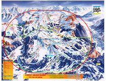
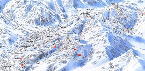
Combloux Trail Map
near Combloux, Savoie, France
See more
 See more
Nearby Maps

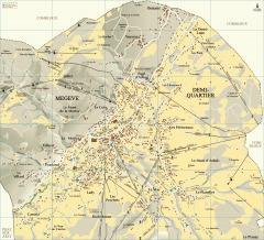
Megeve Village Map
Detailed map of Megève village, France shows roads, building outlines, and in-town ski lifts.
3 miles away
Near Megève, France

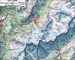
Mont Blanc topographic map
topo map of Mont Blanc, France; highest point in the Alps
9 miles away
Near chamonix, france

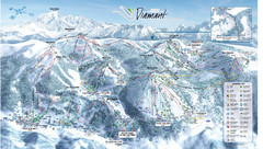
Crest Voland Ski Trail Map
Trail map from Crest Voland.
10 miles away
Near 73590 Crest-Voland, France

Les Carroz Ski Trail Map
Trail map from Les Carroz.
10 miles away
Near 74300 Arâches-la-Frasse, France

Chamonix Valley Town Map
Map of Chamonix Valley and ski locations
11 miles away
Near Chamonix Valley

 click for
 Fullsize


0 Comments
New comments have been temporarily disabled.