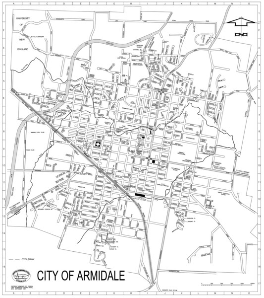
City Of Armidale Map
near Armidale, Australia
See more
 See more
Nearby Maps

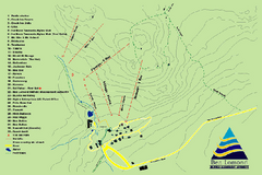
Ben Lomond Ski Trail Map
Trail map from Ben Lomond.
37 miles away
Near Ben Lomond, NSW 2365, Australia

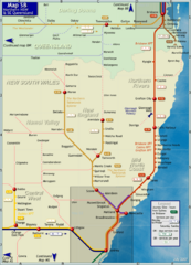
Northern New South Wales Map
Map of long-distance rail system throughout New South Wales and South East Queensland
69 miles away
Near Northern New South Wales, Australia

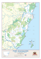
Port Macquarie Map
95 miles away
Near Port Macquarie, Australia

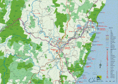
Clarence Valley Tourist Map
Detailed map of the Clarence Valley in New South Wales, Australia. Shows major and minor roads...
97 miles away
Near Grafton, Australia

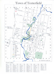
Tenterfield Town Map
106 miles away
Near Tenterfield, NSW

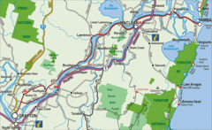
Clarence River Tourist Map
Clarence River in New South Wales, Australia shows cities, roads, tourist information and parks.
111 miles away
Near Maclean, New South Wales

 click for
 Fullsize

0 Comments
New comments have been temporarily disabled.