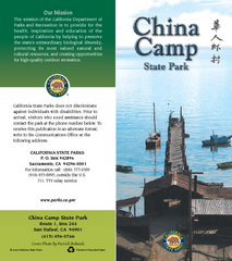
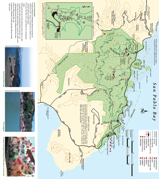
China Camp State Park Map
near China Camp State Park, California
View Location
Trail map of China Camp State Park. Shows trails by use type and all park facilities.
See more

 See more
Nearby Maps

China Camp State Park Map
Map of park with detail of trails and recreation zones
less than 1 mile away
Near China Camp State Park, San Rafael, CA

Santa Margarita Island, Santa Venetia Marsh, and...
Park map of Santa Margarita Island Open Space Preserve, Santa Venetia Marsh Open Space Preserve...
2 miles away
Near San Rafael, California

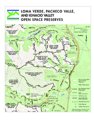
Loma Verde, Pacheco Valley, Lucas Valley and...
6 miles away
Near Ignacio, CA

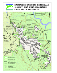
Blithedale Summit Open Space Preserve Map
Trail map of Blithedale Summit Open Space Preserve, Baltimore Canyon Open Space Preserve, and King...
6 miles away
Near Larkspur, CA

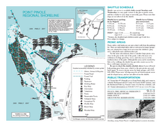
Point Pinole Regional Shoreline Map
7 miles away
Near Point Pinole

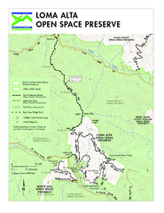
Loma Alta Preserve Map
Topographical trail map of Loma Alta Preserve in Marin County, California
7 miles away
Near Fairfax, California

 click for
 Fullsize


0 Comments
New comments have been temporarily disabled.