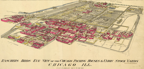
Chicago Meatpacking District and Stockyards (1890) Map
near 41.816, -87.657
View Location
Charles Rascher's illustration of the Chicago meatpacking district in 1890.
See more
 See more
Nearby Maps

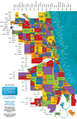
Chicago Neighborhoods Map
Map of Chicago identifying the different neighborhoods in the city
1 mile away
Near Chicago, IL

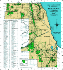
Cook County Recreation Map
Map of forest preserve recreational facilities in Cook County, Illinois.
2 miles away
Near Cook County, Illinois

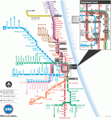
Chicago Train Map
Official map of the Chicago Rail System. CTA's Rail System has seven branches, differentiated...
2 miles away
Near Chicago, IL

Chicago Public Transportation Map
2 miles away
Near Chicago

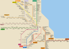
Chicago Train System Map
2 miles away
Near Chicago

Chicago Bike Map
2 miles away
Near Chicago

 click for
 Fullsize

0 Comments
New comments have been temporarily disabled.