Chaco Culture National Historical Park Official Park Map
near Chaco Culture National Historical Park
View Location
Official NPS map of Chaco Culture National Historical Park in New Mexico. The park is open everyday from sunrise to sunset. The Visitor Center is open from 8:00 a.m. to 5:00 p.m.
Tweet
See an error? Report it.
Keywords
recreation, national park, historical park, park, new mexico, biking, hiking, pueblo, camping See more
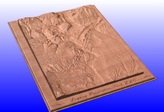
 See more
Nearby Maps

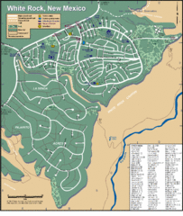
White Rock Road Map
Large and detailed map marking points of interest and roads.
18 miles away
Near white rock, new mexico

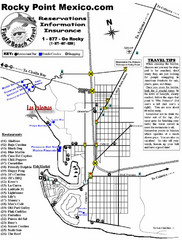
Rocky Point, New Mexico Tourist Map
35 miles away
Near Rocky Point, New Mexico

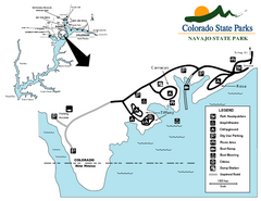
Navajo State Park Map
Map of park with detail of recreation zones
61 miles away
Near Navajo State Park, Arboles, CO

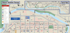
Historic Downtown Durango map
Walking map of historic downtown Durango, Colorado. Sponsored by the Durango Business Improvement...
84 miles away
Near Durango, CO

Durango, Colorado carved by CarvedMaps.com Map
Wooden map of Durango carved by Tom Justin at CarvedMaps.com. CarvedMaps.com does a beautiful...
84 miles away
Near Durango, CO

Mesa Verde carved by carvedmaps.com Map
Carved map of Mesa Verde in Colorado by carvedmaps.com
86 miles away
Near mesa verde

 click for
 Fullsize


0 Comments
New comments have been temporarily disabled.