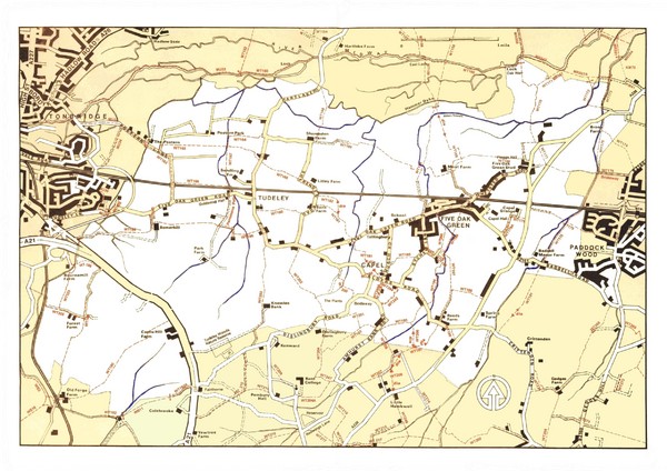
Capel Footpaths Map
near Capel, UK
See more
 See more
Nearby Maps

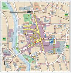
Disabled Accessible Places in Maidstone, Kent Map
A guide to places in Maidstone that are wheelchair accessible.
10 miles away
Near Maidstone, Kent

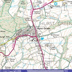
Hurst Green, England City Map
14 miles away
Near Hurst Green, England

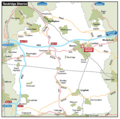
Tandridge District, England Region Map
16 miles away
Near Tandridge, England

East Sussex, England Bus System Route Map
19 miles away
Near East Sussex, England

East Sussex, England City Map
19 miles away
Near East Sussex, England

 click for
 Fullsize


0 Comments
New comments have been temporarily disabled.