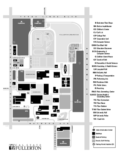
California State University at Fullerton Map
near Fullerton, CA
See more
 See more
Nearby Maps

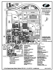
Fullerton College Campus Map
Fullerton College Campus Map. Shows all buildings.
less than 1 mile away
Near 321 E Chapman Ave, Fullerton, CA 92832

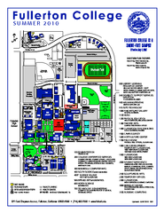
Fullerton College Campus Map 2010
Campus map of Fullerton College in Fullerton, California. Shows all buildings. Updated for Summer...
less than 1 mile away
Near 321 E. Chapman Avenue, Fullerton California 92832

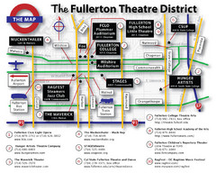
Fullerton, CA Theatre District Map
less than 1 mile away
Near Fullerton, CA

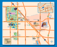
Downtown Anaheim, California Map
Tourist map of Anaheim, California. Shows Disneyland, Anaheim Convention Center, and other points...
3 miles away
Near anaheim, ca

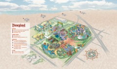
Disneyland Theme Park map
Illustrated map of Disneyland in Anaheim, CA showing different theme parks, hotels, and nearby...
4 miles away
Near 1313 S Harbor Blvd, Anaheim, CA

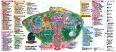
Disneyland Theme Park map
Official map of Disneyland Park. Park includes Main Street USA, New Orleans Square, Frontierland...
4 miles away
Near 1313 S Harbor Blvd, Anaheim, CA

 click for
 Fullsize


0 Comments
New comments have been temporarily disabled.