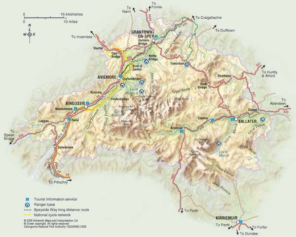
Cairngorms National Park Map
near Cairngorms National Park, UK
View Location
This map shows the boundaries of the Cairngorms National Park, which stretch from Grantown on Spey to the heads of the Angus Glens, from Ballater to Dalwhinnie and Drumochter, and includes much of the Laggan area in the southwest and a large area of the Glen Livet estate and the Strathdon/Glen Buchat area.
See more
 See more
Nearby Maps

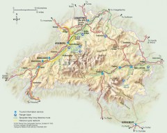
Cairngorms National Park Map
Official map of Cairngorms National Park, Britain's largest National Park at 3800 sq km. 4 of...
less than 1 mile away
Near Cairngorms National Park, UK

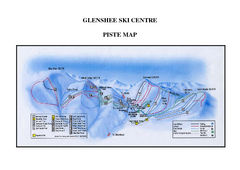
Glenshee Ski Centre Ski Trail Map
Trail map from Glenshee Ski Centre.
12 miles away
Near Cairnwell, Braemar Aberdeenshire, AB35 5XU, UK

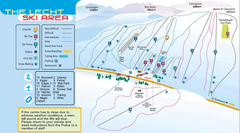
The Lecht Ski Trail Map
Trail map from The Lecht.
20 miles away
Near Corgarff, Strathdon, Aberdeenshire AB36, UK

 click for
 Fullsize

0 Comments
New comments have been temporarily disabled.