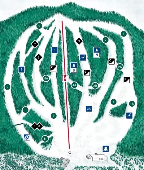
CPA Haute Gaspesie Ski Trail Map
near Sainte-Anne-des-Monts, Quebec, Canada
View Location
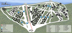
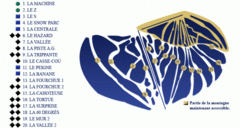
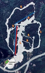
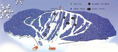
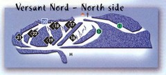
Trail map from CPA Haute Gaspesie, which provides downhill skiing. This ski area has its own website.
See more
 See more
Nearby Maps

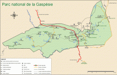
Gaspesie National Park Map - Summer
Official SEPAQ map of Gaspesie National Park in the Gaspe Peninsula, Quebec. Show trails, huts...
16 miles away
Near La Martre, Canada

Ski Mont Miller Map
38 miles away

Mont Miller Ski Trail Map
Trail map from Mont Miller, which provides downhill skiing. This ski area has its own website.
48 miles away
Near Quebec, Canada

Sugarloaf Ski Hill Ski Trail Map
Trail map from Sugarloaf Ski Hill.
64 miles away
Near Sugarloaf, New Brunswick, Canada

Val D’Irene South Side Ski Trail Map
Trail map from Val D’Irene, which provides downhill and nordic skiing. This ski area has its own...
65 miles away

Val D’Irene North Side Ski Trail Map
Trail map from Val D’Irene, which provides downhill and nordic skiing. This ski area has its own...
65 miles away

 click for
 Fullsize

0 Comments
New comments have been temporarily disabled.