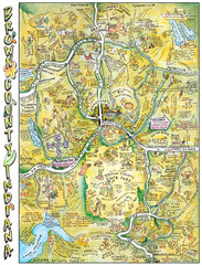
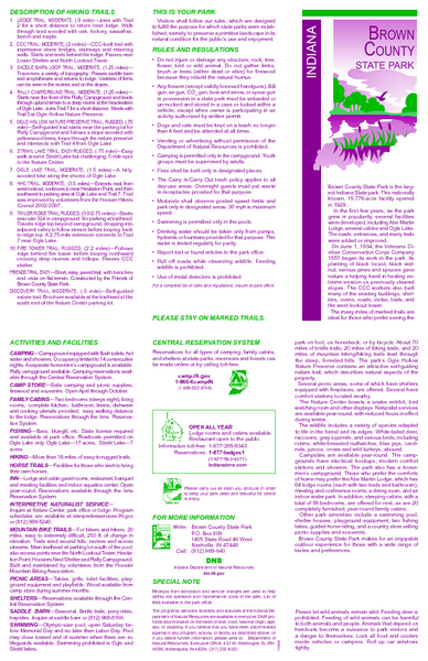
Brown County State Park, Indiana Site Map
near Brown County State park, IN
See more
 See more
Nearby Maps

Brown County, Tennessee Tourist Map
4 miles away
Near Brown County, Nashville

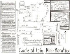
Circle of Life Mini-Marathon Map
Detailed Hand-Drawn Course for Circle of Life Mini-Marathon Map
16 miles away
Near Bloomington, Indiana

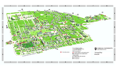
Indiana University - Bloomington Map
Campus map of Indiana University at Bloomington. All buildings shown.
17 miles away
Near Bloomington, Indiana

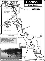
Columbus, IN White River East Fork Map
This is a page from the White River Guidebook. The map shows important information for boaters and...
18 miles away
Near Columbus, IN

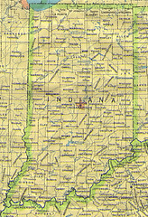
Indiana Map
24 miles away
Near Indiana

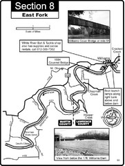
Williams, IN White River East Fork Map
This is a page from the White River Guidebook. The map shows important information for boaters and...
35 miles away
Near williams, IN

 click for
 Fullsize

0 Comments
New comments have been temporarily disabled.