Boothbay Area, Maine, USA Map
near east boothbay, me
View Location
 click for
 Fullsize
Maine Coast Welcome Center's local Map of the Boothbay, Maine area with recommended business locations.
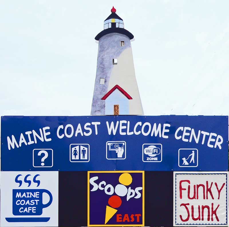 MaineCoastWelcomeCenter
 See more


 See more
Nearby Maps
Boothbay Island Map
Topographical map of Boothbay Island and surrounding areas
7 miles away
Near Boothbay Island
Port Clyde, Maine, USA Map
Maine Coast Welcome Center's local Map of Port Clyde, Me with recommended business locations.
17 miles away
Near Port Clyde, maine
Rockland, Maine Restaurant Map
26 miles away
Near Rockland, Maine
Camden Snow Bowl Ski Trail Map
Trail map from Camden Snow Bowl.
30 miles away
Near Camden, Maine, United States
Camden, Maine, USA Map
Maine Coast Welcome Center's local Map of Camden, Me with recommended business locations.
32 miles away
Near camden, me
Falmouth Map
Map of Falmouth town and bay. Includes roads, parks, accommodations and attractions.
36 miles away
Near Falmouth, Maine, USA

0 Comments
New comments have been temporarily disabled.