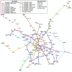
Birmingham City Map
near Birmingham, UK
View Location
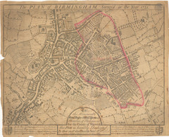
Street map of Birmingham, England. Shows buildings, hospitals, parking, and schools.
Tweet
See an error? Report it.
Keywords
reference, street, city, rail station, hotels, birmingham, midlands, airport way, nec, national exbition center, budget hotels, economic hotels, hurst street, herst street, antrobus, birmingham, antrobus road, birmingham, woodacre road, erdington, alum rock road, chad, rd, edgbaston, cato, street, north, cato, street, north, world's, end, road, hollywood, daiglas, road, daiglas, road, hollywood, temple, street, stirling, rd, edgbaston, stirling, rd, edgbaston, edgbaston, stirling, road, barrow, lane, barrow, lane, barrow, lane, edgbaston, anstey, fields See more
 See more
Nearby Maps

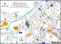
Central Birmingham Map
less than 1 mile away
Near Birmingham, Paradise Circus

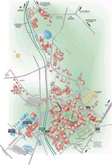
University of Birmingham Map
Guide to Birmingham University and surrounds
3 miles away
Near Birmingham, UK

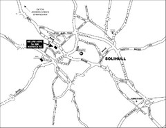
Solihull Town Map
7 miles away
Near Solihull, West Midlands, UK

 click for
 Fullsize


0 Comments
New comments have been temporarily disabled.