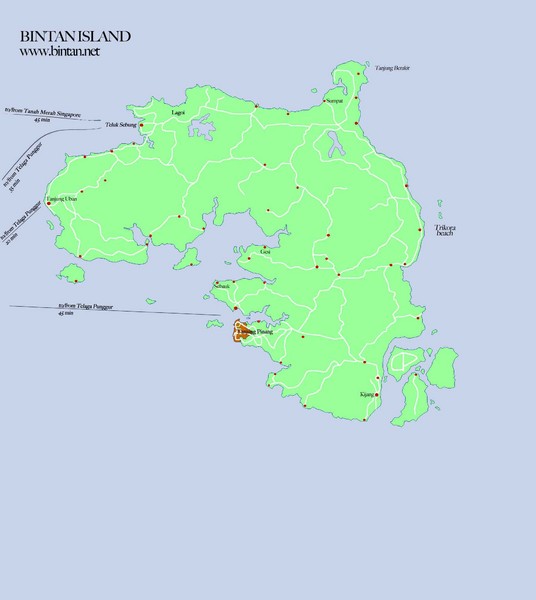
Bintan Island Map
near Bintan Island
See more


 See more
Nearby Maps

Bintan Island, Indonesia Beach Tourist Map
9 miles away
Near Bintan Island, Indonesia

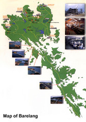
Barelang Bridge Map
Shows ferry terminals, airport, and chain of 6 bridges (with photos) known as the Barelang Bridge...
22 miles away
Near Rempang, Indonesia

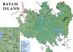
Batam Tourist Map
Tourist map of Batam island, Indonesia. Shows all ferry terminals, airport, and other useful info...
31 miles away
Near Batam, Indonesia

Changi Beach Park Map
42 miles away
Near Changi Beach Park

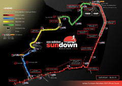
Sundown Marathon Route Map
Map of Adidas Sundown Marathon route for 2009
43 miles away
Near Changi Point, Singapore

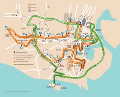
Singapore Tour Bus Map
43 miles away
Near Singapore

 click for
 Fullsize


0 Comments
New comments have been temporarily disabled.