Batam Tourist Map
near Batam, Indonesia
View Location
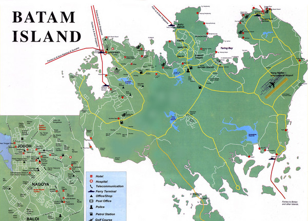
Tourist map of Batam island, Indonesia. Shows all ferry terminals, airport, and other useful info. Inset shows streets of Jodoh/Nagoya/Baloi area.
See more

 See more
Nearby Maps

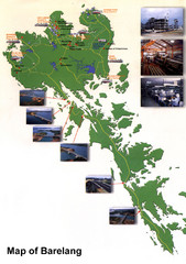
Barelang Bridge Map
Shows ferry terminals, airport, and chain of 6 bridges (with photos) known as the Barelang Bridge...
18 miles away
Near Rempang, Indonesia

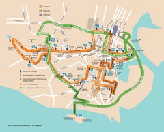
Singapore Tour Bus Map
18 miles away
Near Singapore

Suntec City map
18 miles away
Near Suntec City, SG

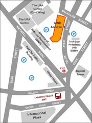
IP Academy Location Map
19 miles away
Near 7 Maxwell Road, Singapore

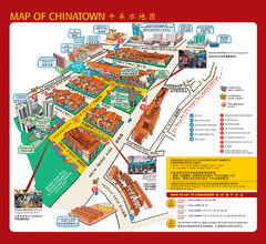
Singapore Chinatown Map
Map of the marktes, restaurants and hotels in Singapore's Chinatown.
19 miles away
Near Chinatown, Singapore

Singapore Rail Map
The easiest way to travel around Singapore, even from the airport!
19 miles away
Near Dhoby Ghaut, Singapore

 click for
 Fullsize


0 Comments
New comments have been temporarily disabled.