Edit this map

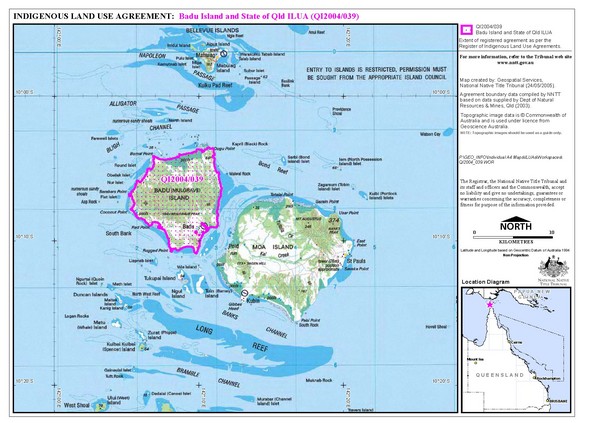
Badu Island Land Use Map

View LocationView Map

-10.1554497283339 142.171325683594 9 satellite
Nearest Map »  Fullsize
1842 × 1300588 KBJPG

Land use agreement map on Badu Island in the Torres Strait.

Created 5/24/2005
From nntt.gov.au

landlubber added
Dec 13, 2008

Rating
no ratings

See an error? Report it.

Keywords

reference, land use, island

0 Comments

New comments have been temporarily disabled.
See more

Nearby Maps

Badu Island and Moa Island Map

Badu Island and Moa Island Map

5 miles away
Keywords: reference, islands
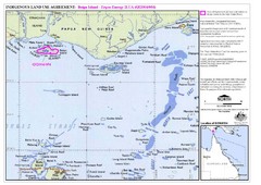
Torres Strait Land Use Map

Torres Strait Land Use Map

Map of land use agreement for Boigu Island. Shows islands in the Torres Strait between Papua New...

53 miles away
Keywords: other, islands, strait
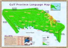
Gulf Province language Map

Gulf Province language Map

264 miles away

Near Papua New Guinea
Keywords: statistics
New Guinea Map

New Guinea Map

Regional Map of the Island of New

292 miles away

Near Papau New Guinea
Keywords: reference, rivers
Papua New Guinea Map

Papua New Guinea Map

292 miles away

Near Papua New Guinea
Keywords: reference, country
Papua New Guinea physical Map

Papua New Guinea physical Map

292 miles away

Near Papua New Guinea
Keywords: reference
See more