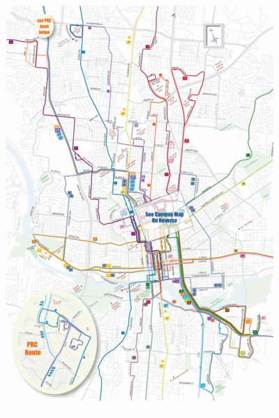
Austin Bus Map
near Austin, Texas
View Location
Bus service surrounding the University of Texas in Austin.
See more
 See more
Nearby Maps

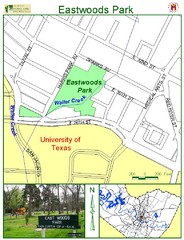
Eastwoods Park Map
less than 1 mile away
Near 3001 Harris Park Ave. Austin

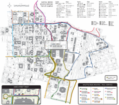
University of Texas-Austin Shuttle Campus Map
Map of University of Texas-Austin Campus Shuttle. Shows shuttle routes, streets, and buildings.
less than 1 mile away
Near Austin, Texas, USA

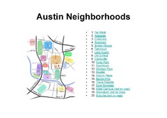
Austin Tx Neighborhoods Map
less than 1 mile away
Near Austin Tx USA

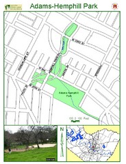
Adams-Hemphill Park Map
less than 1 mile away
Near Hemphill Park Rd

Walking Tour of Historic Austin Map
Walking tour of Austin's historic district in Texas. Shows points of interest and historic...
less than 1 mile away
Near austin, texas

Pease Park Map
less than 1 mile away
Near 1100 Kingsbury St. Austin

 click for
 Fullsize


0 Comments
New comments have been temporarily disabled.