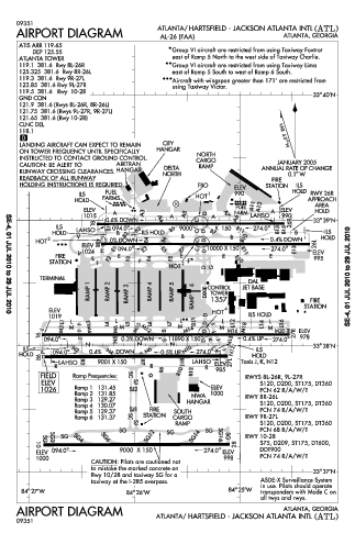
Atlanta Airport Map
near Atlanta Airport
See more
 See more
Nearby Maps

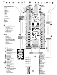
Atlanta Airport Map
less than 1 mile away
Near Atlanta Tx Airport

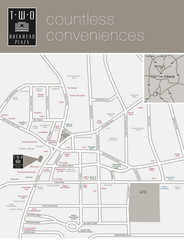
Two Buckhead Plaza/Surrounding Area Map
8 miles away
Near Two Buckhead Plaza, 3050 Peachtree Road, Atlanta...

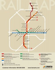
Atlanta MARTA rail map
Official rail map of the Metropolitan Atlanta Rapid Transit Authority.
8 miles away
Near Atlanta, GA

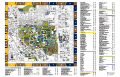
Georgia Institute of Technology Map
Georgia Institute of Technology Campus Map. All buildings shown.
8 miles away
Near Atlanta, Georgia

Georgia State University Map
Georgia State University Campus Map. All buildings shown.
8 miles away
Near Atlanta, Georgia

Atlanta Tourist Map
8 miles away
Near Atlanta

 click for
 Fullsize

0 Comments
New comments have been temporarily disabled.