Arcadia Wildlife Management Area Map - Southeast
near Arcadia, Rhode Island
View Location
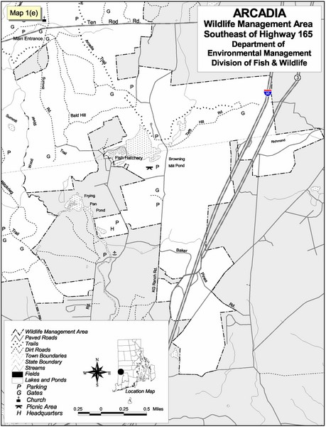
Reference map shows portion of Arcadia Wildlife Management Area, Rhode Island southeast of Highway 165.
See more

 See more
Nearby Maps

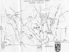
Arcadia Management Area State Map
Trail map for Arcadia Management Area in Rhode Island
3 miles away
Near Arcadia, Rhode Island

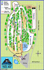
Yawgoo Valley Ski Trail map
Map of Yawgoo Valley Ski area in Exeter, Rhode Island. It is the only skiing resort in Rhode...
9 miles away
Near 160 Yawgoo Valley Rd, Exeter, RI 02822

Yawgoo Valley Ski Area Ski Trail Map
Trail map from Yawgoo Valley Ski Area.
9 miles away
Near Exeter, Rhode Island, United States

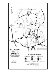
Pachaug State Forest map
Trail map of Pachaug State Forest in Connecticut.
10 miles away
Near voluntown, ct

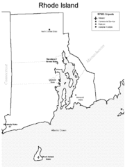
Rhode Island Airports Map
12 miles away
Near Rhode Island

Rhode Island Counties Map
12 miles away
Near Rhode Island

 click for
 Fullsize


0 Comments
New comments have been temporarily disabled.