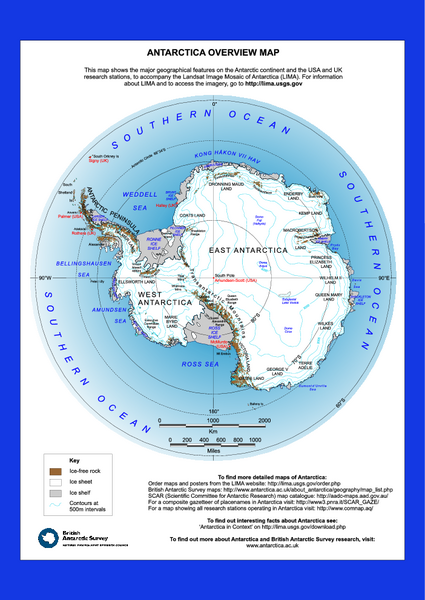
Antarctica Overview Map
near Antarctica
View Location
Overview map of Antarctica shows geological features and US and UK research stations
See more
 See more
Nearby Maps

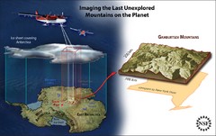
Gamburtsev Subglacial Mountains Map
First ever map of the last unexplored mountains on the planet, the Gamburtsev Subglacial Mountains...
203 miles away
Near 80°30′00″S 76°00′00...

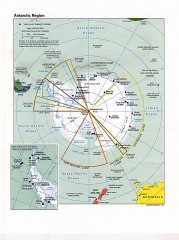
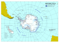
Antarctic Region Political Map 1997
Map centered on South Pole shows all country claims in Antarctica. Also shows year-round research...
645 miles away

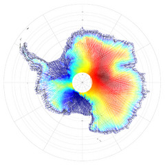
Antarctica Land and Ice Elevation Map
The colors on the map above represent ICESat’s measurements of Antarctica’s topography...
827 miles away
Near Antartica

Mapa imaginario del Pais de HASARD Map
843 miles away

 click for
 Fullsize

1 Comments
very high quality map gives a great sense of the lay of the land for the entire continent