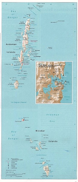
Andaman and Nicobar islands of India Map
near Andaman island, india
View Location
Andaman & Nicobar islands, India Map showing citiies, roads, elevations, ports and airports.
See more
 See more
Nearby Maps

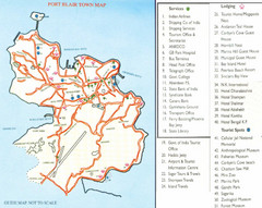
Port Blair Town Map
35 miles away
Near Port Blair, Andaman Island

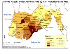
Cyclone Nargis Affected Area Map
Cyclone Nargis Vulnerability Estimates by Township
351 miles away
Near bengal bay

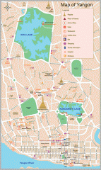
Yangon Map
392 miles away
Near Yangon

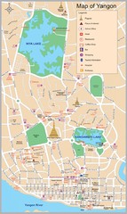
Yangon Tourist Map
Tourist map of Yangon, Myanmar. Also known as Rangoon. Shows pagodas and other points of interest.
393 miles away
Near Yangon, Myanmar

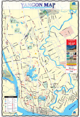
Yangon Myanmar or Rangoon Burma city map
City map of downtown Yangon, Myanmar aka Rangoon, Burma. Shows points of interest and major pagodas.
393 miles away
Near Yangon, Myanmar

 click for
 Fullsize


0 Comments
New comments have been temporarily disabled.