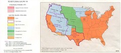
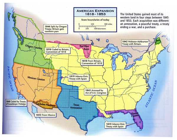
American Expansion 1818-1853 Map
near United States
View Location
Shows the four major steps through which the US gained most of it's western land between 1818-1853. Scanned.
See more
 See more
Nearby Maps

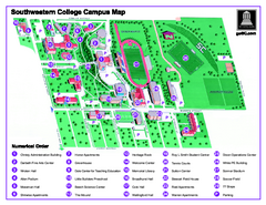
Southwestern College Campus Map
Southwestern College Campus Map. Shows all buildings.
9 miles away
Near 100 College Street Winfield, KS 67156

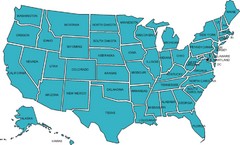
United States Map
10 miles away
Near United States

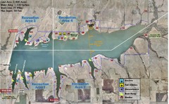
Winfield City Lake Map
Recreation map of Winfield City Lake in Winfield, Kansas. Named Timber Creek Lake. Shows camping...
13 miles away
Near 10348 141st Road, Winfield, Kansas

Territorial Expansion in Eastern United States...
22 miles away
Near United States

United States Travel Time to Work Statistical Map
31 miles away
Near United States

United States, Westward Expansion Map
39 miles away

 click for
 Fullsize


1 Comments
this a very excellent map! I seen this in The Nystrom Atlas of United States history. You should get more! wonderful.