Edit this map

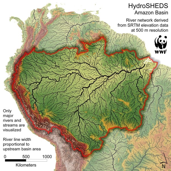
Amazon Basin Hydrosheds Map

near Casa Casimiro, Brazil

View LocationView Map

-2.54798787147138 -59.150390625 4 satellite
Nearest Map »  Fullsize
1500 × 1500468 KBJPG

Hydrosheds of the Amazon River Basin, the area drained by the Amazon River and its tributaries. Only major rivers and streams are shown. River line width proportional to upstream river basin area. Source: WWF

From panda.org

scott added
Oct 31, 2007

Rating
rated 4.27 by 11 people

See an error? Report it.

Keywords

reference, river, amazon, brazil, equator, rio roosevelt, eirunepe, lago, batata

0 Comments

New comments have been temporarily disabled.
See more

Nearby Maps

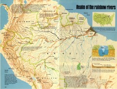
Amazon River Basin Map

Amazon River Basin Map

From National Geographic Magazine

72 miles away

Near manaus
Keywords: reference
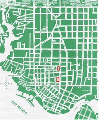
Manaus Center Map

Manaus Center Map

Street map of city center

73 miles away

Near Manaus, Brazil
Amazon River Map

Amazon River Map

Old map of the Amazon River and major tributaries.

125 miles away

rated 2.2 by 5 people
Near Albano, Brazil
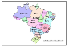
Brazil Map; Editable in Illustrator

Brazil Map; Editable in Illustrator

Brazil Map, royalty free, fully editable with Illustrator. Mapsandlocations, a freelance company...

401 miles away

rated 4 by 1 person
Near Iauraré, Brazil
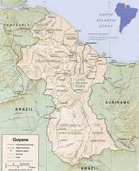
Guyana Map

Guyana Map

Guide to the South American country of Guyana

489 miles away

Near Guyana, South America
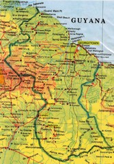
Guyana Topographic Map

Guyana Topographic Map

Guide to Guyana, a country in South America

495 miles away

Near Guyana
See more