Africa South Full Map
near africa
View Location
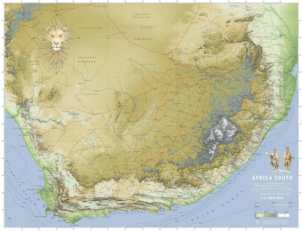
A new relief map of Africa South showing some roads and towns and with boundaries natural replacing national.
See more

 See more
Nearby Maps

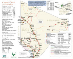
Kgalagadi Transfrontier Park Map
103 miles away
Near Kgalagadi Transfrontier Park

Eastern Central Namibia Map
106 miles away
Near Namibia

Trans Kalahari Highway Map
Map of Trans Kalahari Highway through Botswana showing distances, fuel stations and accomodations.
170 miles away
Near Botswana

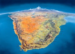
Southern Africa Panorama Map
Panoramic view of southern Africa. Shows South Africa, Namibia, Botswana, Angola, Zambia, Zimbabwe...
240 miles away
Near Malachoona, Botswana

 click for
 Fullsize


0 Comments
New comments have been temporarily disabled.