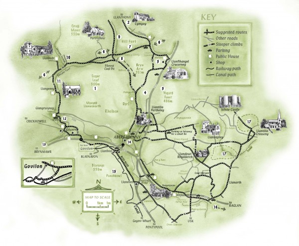
Abergavenny Cycle Map
near Abergavenny, UK
View Location
Shows suggested easy cycling routes, other roads, steeper climbs, parking, public houses, shops, railway paths, and canal paths.
See more
 See more
Nearby Maps

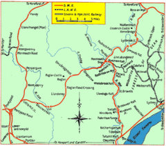
Monmouth and Wye Valley Railways Map
Map showing the 3 major railway lines and the cities with stops of Monmouth, UK.
10 miles away
Near monmouth, uk

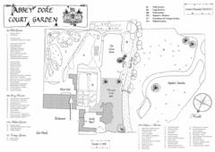
Abbey Dore Court Garden Map
11 miles away
Near Abbey Dore, Herefordshire, England

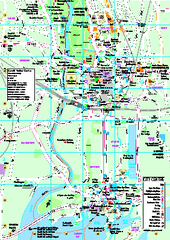
Cardiff City Map
Tourist map of city center of Cardiff, UK. Shows points of interest
25 miles away
Near Cardiff UK

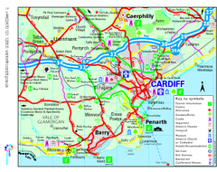
Cardiff Region Tourist Map
Regional tourist map of area surrounding Cardiff, UK. Shows all attractions.
26 miles away
Near Cardiff, UK

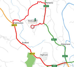
Hartpury College Directions Map
Map of location of Hartpury College campus and surrounding roads.
31 miles away
Near Hartpury, UK

 click for
 Fullsize


0 Comments
New comments have been temporarily disabled.