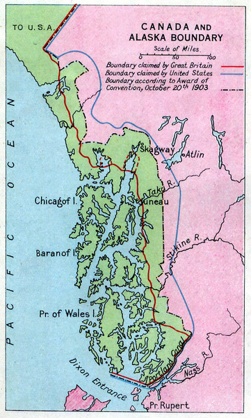
1903 Alaska boundary dispute Map
near Alaska
View Location
The Alaska Panhandle was object of a boundary dispute between USA and the Dominion of Canada. Although this map hasn't got any better quality, it's very interesting.
See more
 See more
Nearby Maps

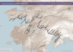
Iditarod Route Map
Official route map of the Iditarod, the famouse 1,150 mile dogsled race from Anchorage to Nome...
154 miles away

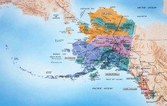
Alaska Map
178 miles away
Near Alaska

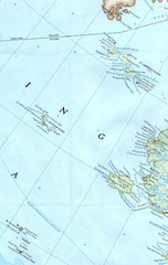
Alaskan West Coast Islands Map
186 miles away

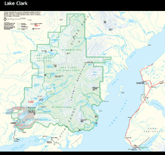
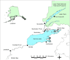
Lake Clark National Park and Preserve Map
Detailed map for Lake Clark National Park and Preserve
186 miles away
Near Anchorage, AK 99501

 click for
 Fullsize


0 Comments
New comments have been temporarily disabled.