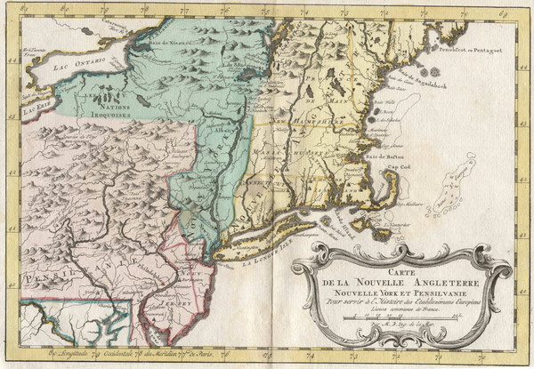
1773 New England Map
near New England, US
See more

 See more
Nearby Maps

University of New York at Stony Brook Campus Map
7 miles away
Near Long Island, NY

Stony Brook University Map
8 miles away
Near Stony Brook University

Huntington, New York Restaurant Map
13 miles away
Near Huntington, NY

Map of Fire Island National Seashore
Official Map of Fire Island National Seashore in New York. Shows all towns and information.
13 miles away
Near Fire Island, New York

Urban Neighborhood Map: Long Island Map
This Urban Neighborhood Poster of Long Island is a modern twist on traditional maps. The typography...
15 miles away
Near Long Island

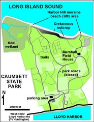
Caumsett State Park Map
Park map of Caumsett State Park on Long Island Sound, New York
17 miles away
Near Caumsett State Park, NY

 click for
 Fullsize


0 Comments
New comments have been temporarily disabled.