Edit this map

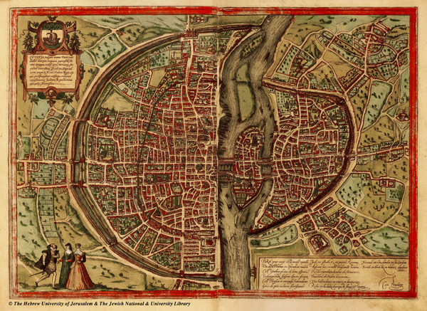
1569 Paris Map

near Paris, France

View LocationView Map

48.8685540843275 2.35382080078125 12 satellite
Nearest Map »  Fullsize
2864 × 20841.6 MBJPG

Historic map of Paris showing city walls and farms

Created 1569 by Sebastian Munser
From historic-cities.huji.ac.il

megpecaut added
Feb 20, 2009

Rating
rated 5 by 1 person

See an error? Report it.

Keywords

history, city wall, farm, village, arrondissement, seine

0 Comments

New comments have been temporarily disabled.
.
See more

Nearby Maps

Paris Metro Map

Paris Metro Map

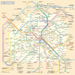
Map of metro system in Paris

less than 1 mile away

rated 2 by 1 person
Near Paris
Keywords: transportation
Arrondissements de Paris Map

Arrondissements de Paris Map

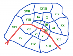
Les arrondissements de Paris, du 1er au 20ème. (The boroughs of Paris, 1 through 20).

less than 1 mile away

rated 2.29 by 7 people
Near Paris, France
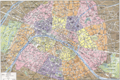
Arrondissements de Paris Map

Arrondissements de Paris Map

City map shows 20 arrondissements of Paris, France.

less than 1 mile away

rated 2.88 by 8 people
Near Paris, France
Paris Metro Map

Paris Metro Map

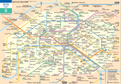
Map of Paris metro transit

less than 1 mile away

Near Paris, France
Keywords: transportation
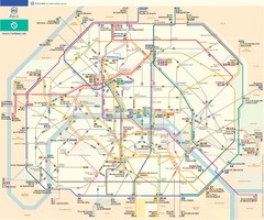
Paris Bus Route Map (French)

Paris Bus Route Map (French)

less than 1 mile away

Near Paris, France
Keywords: transportation
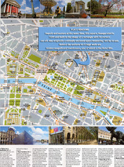
Paris Tourist Map

Paris Tourist Map

Main tourist attractions in Paris

less than 1 mile away

Near Paris
Keywords: tourism
See more