Rhode Island maps


 Maps contributed
2
Mapophile
The Rhode Island Leader says: “You learn something new every day... remembering it is the hard part.”
Top Contributors..
-
1
FadedMemory
-
1

Brigid
-
1

ljrdn@comcast.net
-
1

nava
Claim the World, Map by Map
Claim a country by adding the most maps.Celebrate your territory with a Leader’s Boast.
Become World Leader by claiming the most!
Rhode Island Cities by Map Count..
- 4North Kingstown maps
- 3Providence maps
- 2Chepachet maps
- 2East Greenwich maps
- 2Exeter maps
- 2Hope Valley maps
- 2Jamestown maps
- 2West Warwick maps
- 1Blackstone map
- 1Bradford map
- 1Pascoag map
- 1Portsmouth map
- 1Rumford map
- 1Woonsocket map
- 0Newport maps
Related Info
Rhode Island Keywords
Rhode Island Maps
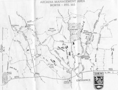
Arcadia Management Area State Map
Trail map for Arcadia Management Area in Rhode Island
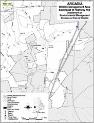
Arcadia Wildlife Management Area Map - Southeast
Reference map shows portion of Arcadia Wildlife Management Area, Rhode Island southeast of...
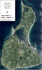
Block Island Aerial Map
Aerial map of Block Island, RI (New Shoreham, RI). True color orthophotography from August...
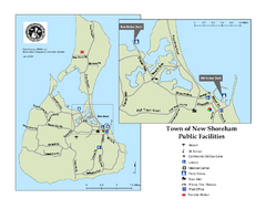
Block Island Road Map
Shows roads and major facilities on Block Island, RI (New Shoreham)
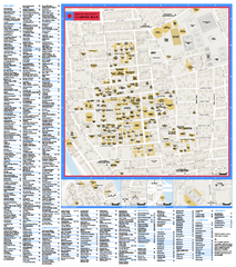
Brown University Campus Map
Official campus map of Brown University.
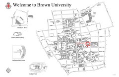
Brown University Map
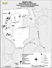
Buck Hill Wildlife Management Area Map
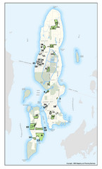
Conanicut Island Land Trust Map
Shows 430 acres of property on Conanicut Island, RI stewarded by the Conanicut Island Land Trust
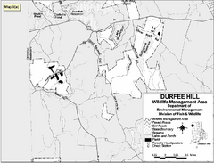
Durfee Hill Wildlife Management Area Map
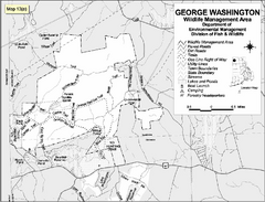
George Washington Wildlife Management Area Map
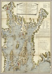
Narrangansett Bay Map 1777
"A Topographical CHART of the BAY of NARRAGANSET in the Province of NEW ENGLAND. with the...
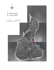
Native and Exotic Phragmites on Block Island Map
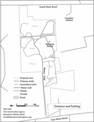
Parker Farm Trail Map
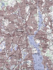
Providence Topo Map
Topo map of Providence, East Providence, Cranston, and Pawtucket, RI. Original scale 1:50,000
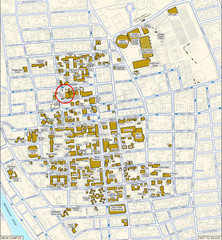
Providence, Rhode Island City Map
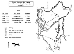
Pulaski State Park Map
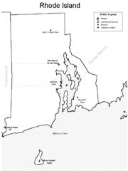
Rhode Island Airports Map
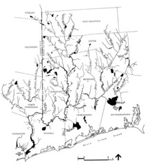
Rhode Island Coastal Watershed Map
Paddling Guide of Pawcatuck River Watershed
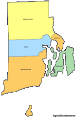

 Big Map
  Gallery