Oregon maps


 Maps contributed
15
FadedMemory
The Oregon Leader says: “You learn something new every day... remembering it is the hard part.”
Top Contributors..
-
8

Brigid
-
7

Mapophile
-
4
mariquita225
-
3

nava
Claim the World, Map by Map
Claim a country by adding the most maps.Celebrate your territory with a Leader’s Boast.
Become World Leader by claiming the most!
Oregon Cities by Map Count..
- 13Portland maps
- 7Eugene maps
- 3Bend maps
- 3Government Camp maps
- 2Ashland maps
- 2Astoria maps
- 2Happy Valley maps
- 2Hood River maps
- 2Lakeview maps
- 2Medford maps
- 2Newport maps
- 2Warrenton maps
- 1Coburg map
- 1Coos Bay map
- 1Corvallis map
- 1Dallas map
- 1Deschutes River Woods map
- 1Hubbard map
- 1Independence map
- 1King City map
- 1Klamath Falls map
- 1Lake Oswego map
- 1Lakeside map
- 1Lincoln City map
- 1Monument map
- 1Myrtle Point map
- 1Oakland map
- 1Parkdale map
- 1Philomath map
- 1Powell Butte map
- 1Salem map
- 1Scappoose map
- 1Tigard map
- 1Vernonia map
- 1Wallowa map
- 1Washougal map
- 1West Haven map
- 1Yachats map
Related Info
Oregon Keywords
Oregon Maps
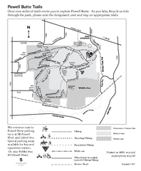
Powell Butte Nature Park Trail Map
Trail map of Powell Butte Nature Park. Shows over 9 miles of trails

Reed Island State Park Map
Map of park with detail of trails and recreation zones
Rockaway Beach Map
Sauvie Island tourist map
Tourist map of Sauvie Island in Oregon. Shows all businesses and points of interest.
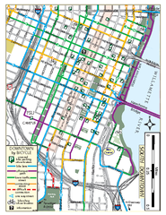
South Downtown Portland Bike Map
Biking map of southern downtown Portland, Oregon. Shows bike paths, bike parking, and bike...

Steens Mountain Topo Map
Topography map of the east side of Steens mountain in Oregon.

Summit Ski Area Ski Trail Map
Trail map from Summit Ski Area.

Tigard Oregon Road Map
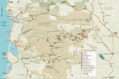
Tillamook State Forest Map
Recreation map of Tillamook State Forest. Over 60 miles of non-motorized trails and 150 miles...
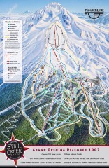
Timberline Ski Trail Map
Official ski trail map of Timberline Lodge ski area from the 2007-2008 season.
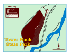
Tower Rock State Park Map
Tower Rock State Park is one of Montana's newest state parks. The 400-foot high igneous...
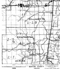
Transportaion for Benton County 1936 Map
1936 Map of Benton County, Oregon known as Muddy Area with counties, roads and towns marked
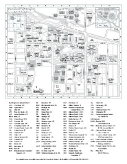
University of Oregon campus map
University of Oregon campus map with building abbreviations

Van Duzer Vineyard Map
"A colorful vineyard map that shows the location of Van Duzer’s numerous grape...

Warner Canyon Ski Trail Map
Trail map from Warner Canyon, which provides downhill skiing.

Warrenton Oregon Road Map


 Big Map
  Gallery


