Montana maps
Top Contributors..
Claim the World, Map by Map
Claim a country by adding the most maps.Celebrate your territory with a Leader’s Boast.
Become World Leader by claiming the most!
Montana Cities by Map Count..
- 7Big Sky maps
- 4Missoula maps
- 4Whitefish maps
- 3Billings maps
- 2Big Arm maps
- 2Canyon Creek maps
- 2Crow Agency maps
- 2Red Lodge maps
- 1Anaconda map
- 1Belt map
- 1Cardwell map
- 1Choteau map
- 1Dagmar map
- 1Dillon map
- 1Evaro map
- 1Finley Point map
- 1Frenchtown map
- 1Glendive map
- 1Great Falls map
- 1Greycliff map
- 1Helena map
- 1Hobson map
- 1Miles City map
- 1Moccasin map
- 1Mullan map
- 1Polaris map
- 1Polson map
- 1Proctor map
- 1Pryor map
- 1Rollins map
- 1Stevensville map
- 1Thompson Falls map
- 1Three Forks map
- 1Wye map
Related Info
Montana Keywords
Montana Maps
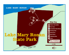
Lake Mary Ronan State Park Map
Off the beaten path just seven miles west of Flathead Lake, this park is shaded by Douglas fir...
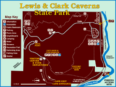
Lewis and Clark Caverns State Park Map
Montana's first and best-known state park showcases one of the most highly decorated...
Little Big Horn Battlefield National Monument...
Official NPS map of the Little Big Horn Battlefield National Monument. This area...

Logan State Park Map
With frontage on the north shore of Middle Thompson Lake, Logan is heavily forested with...
Lookout Pass Ski Trail Map
Official ski trail map of Lookout Pass ski area from the 2007-2008 season. Shows Montana...
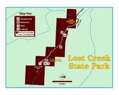
Lost Creek State Park Map
These spectacular gray limestone cliffs and pink and white granite formations rise 1,200 feet...
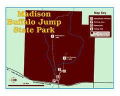
Madison Buffalo Jump State Park Map
You’ll find this day-use-only park seven graveled miles off Interstate 90 at the Logan...

Makoshika State Park Map
To the Sioux Indians, Ma-ko-shi-ka meant bad earth or bad land. Today, as Montana’s...
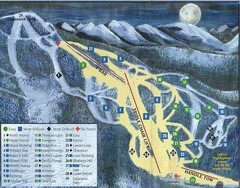
Marshall Mountain Ski Trail Map
Trail map from Marshall Mountain.

Maverick Mountain Ski Area Ski Trail Map
Trail map from Maverick Mountain Ski Area.
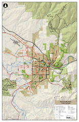
Missoula Bike Trails Map
Road and Mt. Bike trails with a bit of topology near Missoua
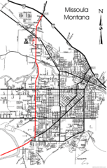
Missoula, Montana City Map
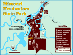
Missouri Headwaters State Park Map
This park encompasses the confluence of the Jefferson, Madison and Gallatin Rivers. The Lewis...

Montana Airports Map
Montana Road Map
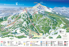
Moonlight Basin Ski Trail Map
Trail map from Moonlight Basin, which provides terrain park skiing. It has 8 lifts servicing 92...
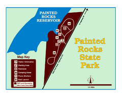
Painted Rocks State Park Map
Located in the scenic Bitterroot Mountains, this 23-acre park offers boating and water sport...


 Maps contributed
 Big Map
  Gallery

