Downtown Lincoln, Nebraska Map
near Lincoln, Nebraska
View Location
Red is the Nebraska History Museum. School bus parking is on the west side of 15th Street in front of the museum. Blue is the Library / Archives and Headquarters. Green is the Children's Museum. Historic Preservation and Archeology divisions are here. Yellow is the Kennard House, Nebraska Statehood Memorial. Purple is the Historical Society Foundation. Brown is the K Street Records Facility. Orange is off-street parking.
Nearby Maps
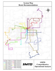
Lincoln Bus Map
0 miles away
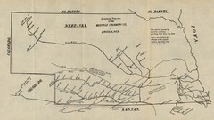
Skimming Stations of the Beatrice Creamery...
"Skimming Stations of the Beatrice Creamery Co. of Lincoln, Neb." From Report of the...
0 miles away
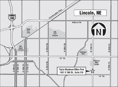
Lincoln, Nebraska Map
0 miles away
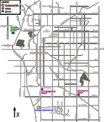
Lincoln, Nebraska City Map
1 mile away
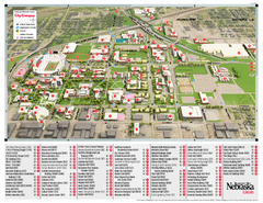
University of Nebraska - Lincoln Map
Campus Map of the University of Nebraska - Lincoln Campus. All areas shown.
1 mile away
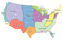
Regions of the United States Map
Appalachia- Hills, hills and more hills. Appalachian landforms contribute to landscapes of...
41 miles away

 click for
 Fullsize

0 Comments
New comments have been temporarily disabled.