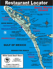
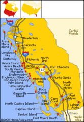
Ana Maria Island Tourist Map
near Ana Maria Island
See more


 See more
Nearby Maps

Anna Maria Island, Florida Restaurant Map
less than 1 mile away
Near Anna Maria Island, FL

Bradenton Beach Map
Bradenton Beach and surrounding beach map.
9 miles away
Near University Park, Florida

Fort De Sota Park Map
Shows facilities of Ft DeSota Park, Florida. Home of North Beach, rated #1 beach in America by...
9 miles away
Near Tierra Verde, Florida

Gamble Plantation Historic State Park Map
Map of park with detail of recreation zones
12 miles away
Near 3708 Patten Avenue, Ellenton, Florida

Sarasota, Florida City Map
16 miles away
Near Sarasota, Florida

St. Petersburg, Florida City Map
19 miles away
Near St. Petersburg, Florida

 click for
 Fullsize

0 Comments
New comments have been temporarily disabled.