Utah maps
Top Contributors..
Claim the World, Map by Map
Claim a country by adding the most maps.Celebrate your territory with a Leader’s Boast.
Become World Leader by claiming the most!
Utah Cities by Map Count..
- 17Timber Lakes maps
- 13Park City maps
- 11Alta maps
- 4Provo maps
- 4Salt Lake City maps
- 3Heber maps
- 3Ogden maps
- 2Bryce Canyon maps
- 2Escalante maps
- 2Huntsville maps
- 2Midway maps
- 2Moab maps
- 2Vernal maps
- 1Antimony map
- 1Beaver map
- 1Brian Head map
- 1Cedar Hills map
- 1Centerfield map
- 1Duchesne map
- 1Farmington map
- 1Ferron map
- 1Henrieville map
- 1Huntington map
- 1Laketown map
- 1Liberty map
- 1Little Cottonwood Creek Valley map
- 1Logan map
- 1Moroni map
- 1Mount Olympus map
- 1Orangeville map
- 1Orem map
- 1Peoa map
- 1Roy map
- 1Saint George map
- 1Scofield map
- 1Sutherland map
- 1Taylorsville map
- 1Tropic map
- 1Uintah map
- 1Wellsville map
- 1Wendover map
- 1Willard map
Related Info
Utah Keywords
Utah Maps

Capitol Reef National Park Official Map
Official NPS map of Capitol Reef National Park in Utah. Map shows all areas. The park and...

Deer Creek State Park Map
Deer Creek State Park lies in the southwest corner of beautiful Heber Valley and consistently...

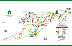
Deer Valley Resort Ski Trail Map
Trail map from Deer Valley Resort.

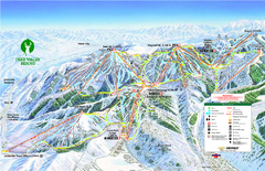
Deer Valley Ski Trail Map
Official ski trail map of Deer Valley ski area from the 2007-2008 season.
Delta Quad Sheet Detail 1972 Map

East Canyon State Park Map
East Canyon State Park is a 680-acre boating and year-round fishing delight nestled in the...

Elk Meadows Resort Ski Trail Map
Trail map from Elk Meadows Resort.

Escalante Petrified Forest State Park Map
Escalante Petrified Forest State Park is located in beautiful southern Utah, just 44 miles east...

Fremont Indian State Park Map
Discover artifacts, petroglyphs, and pictographs left behind by the Fremont Indians. During...
Golden Spike National Monument Map

Heber City General Plan map

Heber City Street Map

Heber City Zoning Map

Huntington Lake State Park Map
Take a hike around this beautiful lake.

Hyrum State Park Map
Tucked away in Cache County, Hyrum State Park offers many recreation opportunities including...

Jordan River Parkway Map

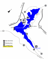
Jordanelle State Park Map
Jordanelle State Park is located in a picturesque mountain setting near Heber City. The park...

Kodachrome Basin State Park Map
Trail map of Kodachrome Basin State Park, Utah. Shows hiking trails and park facilities.


 Maps contributed
 Big Map
  Gallery

