Connecticut maps
Top Contributors..
-
3

nava
-
2

kayest
-
1

powderdave
-
1

Brigid
Claim the World, Map by Map
Claim a country by adding the most maps.Celebrate your territory with a Leader’s Boast.
Become World Leader by claiming the most!
Connecticut Cities by Map Count..
- 4New Haven maps
- 3Hamden maps
- 3Kent maps
- 3Portland maps
- 3Simsbury maps
- 3Storrs maps
- 2Bridgeport maps
- 2Colchester maps
- 2Cornwall Bridge maps
- 2Goshen maps
- 2Groton maps
- 2Holland maps
- 2Jewett City maps
- 2Madison maps
- 2Middlefield maps
- 2Middletown maps
- 2New Fairfield maps
- 2New London maps
- 2Niantic maps
- 2Norfolk maps
- 2Oxford maps
- 2Plantsville maps
- 2Pomfret Center maps
- 2Redding maps
- 2Shelton maps
- 2Watertown maps
- 2Willimantic maps
- 1Bantam map
- 1Bloomfield map
- 1Chester map
- 1Cromwell map
- 1Derby map
- 1East Haddam map
- 1East Hampton map
- 1Easton map
- 1Ellington map
- 1Glastonbury map
- 1Guilford map
- 1Haddam map
- 1Hartford map
- 1Hebron map
- 1Killingworth map
- 1Litchfield map
- 1Mansfield Center map
- 1Meriden map
- 1Middlebury map
- 1Milford map
- 1Moodus map
- 1New Hartford map
- 1New Milford map
Related Info
Connecticut Keywords
Connecticut Maps

Mansfield Cemetery Map

Mansfield Conservation and Development Map
Guide to Agricultural, Forestry and Natural Diversity Resources

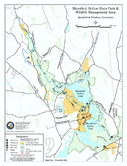
Mansfield Hollow State Park map
Map for Mansfield Hollow State Park and Wildlife Management Area in Connecticut.

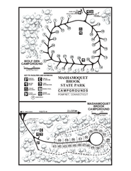
Mashamoquet Brook State Park campground map
Campground map of Mashamoquet Brook State Park in Connecticut.

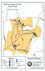
Mashamoquet Brook State Park trail map
Trail map of Mashamoquet Brook State Park in Connecticut.

Middlebury, Connecticut Map

Mohawk Mountain Ski Trail Map
Ski trail map of Mohawk Mountain ski area

Mount Southington Ski Trail Map
Official ski trail map of Mount Southington ski area from the 2007-2008 season.

Mt. Southington Ski Area Ski Trail Map
Trail map from Mt. Southington Ski Area, which provides downhill, night, and terrain park...

New Milford, Connecticut Map
New Milford, Connecticut topo map with roads, streets and buildings identified

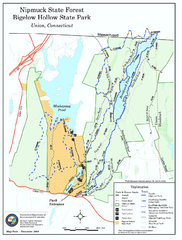
Nipmuck State Forest trail map
Trail map of Nipmuck State Forest and Bigelow Hollow State Park in Connecticut.

North Mohawk Mountain State Forest (Summer...
Summer trail map of the North section of Mohawk Mountain State Forest in Connecticut.

North Mohawk Mountain State Forest (Winter...
Winter trail map for North Mohawk Mountain State Forest in Connecticut.

Powder Ridge Ski Area Ski Trail Map
Trail map from Powder Ridge Ski Area.

Putnam Memorial State Park map
Trail map for Putnal Memorial State Park in Connecticut,


 Maps contributed
 Big Map
  Gallery


