St. Thomas Island Map
near St. Thomas, US Virgin Islands
View Location
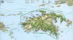
Overview road map of island of St. Thomas in the U.S. Virgin Islands. Shows major roads, districts, and towns.
See more
 See more
Nearby Maps

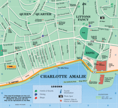
Charlotte Amalie U.S. Virgin Islands Map
less than 1 mile away
Near charlotte amalie

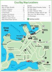
Cruz Bay St. John Map
10 miles away
Near cruz bay

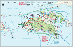
Virgin Islands National Park Map
Official NPS map of Virgin Islands National Park in the Virgin Islands. Map shows main island and...
13 miles away
Near Virgin Islands National Park, St. John

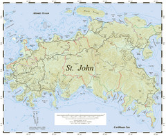
St. John Trail Map
Topographical trail map of St. John in the US Virgin Islands.
13 miles away
Near St. John, USVI

Virgin Islands National Park Tourist Map
13 miles away
Near Virgin Islands

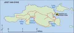
Jost Van Dyke map
Map of Jost Van Dyke island of the British Virgin Islands in the Caribbean.
15 miles away
Near jost van dyke, virgin islands

 click for
 Fullsize

0 Comments
New comments have been temporarily disabled.