Sagarmatha National Park Map
near Sagarmatha National Park
View Location
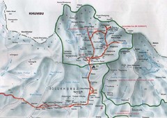
Shows Sagarmatha National Park, Nepal and surrounding National Parks near Mt. Everest. Shows trekking information for the Everest region, including Kala Patar, Cho Oyo, Gokyo, Island Peak, Namche Bazaar and all associated areas/routes.
See more

 See more
Nearby Maps

Sagarmatha National Park Map
Detailed topo map of Sagarmatha National Park in Nepal. Shows park boundary, peaks, passes...
14 miles away
Near Sagarmatha National Park, Nepal

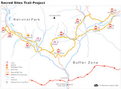
Khumbu Region Sacred Sites Trail Map
Shows the Sacred Site Trail in the Khumbu region of Nepal in Sagarmatha National Park. From the...
16 miles away
Near Sagarmatha National Park, Nepal

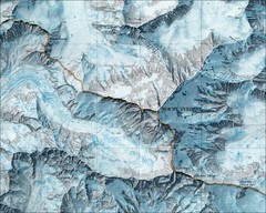
Mt. Everest Map
22 miles away
Near Mount Everest Nepal

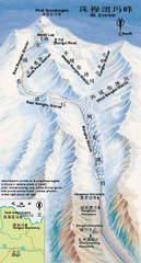
Mount Everest Map
22 miles away
Near Mt Everest NEPAL

Mt Everest Rongbu Glacier Climbing Map
23 miles away
Near Mt. Everest

Patan Lalitpur, Nepal Guide Map
78 miles away
Near Patan Lalitpur, Nepal

 click for
 Fullsize


1 Comments
looks like a scan of a Nat Geo map