Rio de Janeiro Map 1867
near Rio de Janeiro, Brazil
View Location
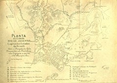
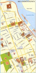
Detailed map of city of Rio de Janeiro. Looks like the map portion has been overlayed on top of a different legend (?)
See more

 See more
Nearby Maps

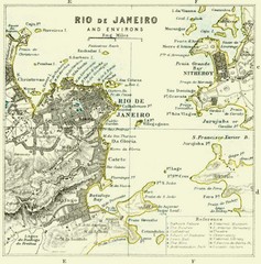
Rio De Janeiro Historical Map
Map of Rio De Janeiro, Brazil fro 1896. Map showis towns, buildings and roads.
1 mile away
Near Rio De Janeiro, Brazil

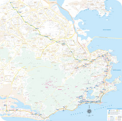
Rio de Janiero Map
1 mile away
Near Rio de Janiero
. Map
2 miles away
Near Rio de Janeiro

Rio De Janeiro Historical Map
Map of Rio De Janeiro, Brazil likely from 1769 showing the city streets and main buildings.
2 miles away
Near Rio De Janeiro, Brazil

 click for
 Fullsize


1 Comments
yeah, there is something weird going on in the image... i can see a map below the map around the edges