Edit this map

Old Map of Europe - 12th century

near london

View LocationView Map

51.6180165487737 15.99609375 3 satellite
Nearest Map »  Fullsize
1261 × 869414 KBJPG

europemaps added
Aug 9, 2011

Rating
rated 5 by 1 person

See an error? Report it.

Keywords

other, europe, old, map, old, 500, ad, 500, ad

0 Comments

New comments have been temporarily disabled.
See more

Nearby Maps

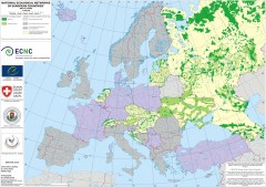
National Ecological Networks of European...

National Ecological Networks of European...

Shows core areas and ecological corridors in European countries with Ecological Network plans. By...

15 miles away

Near DÄâ„¢bowo, Poland
mapa rowerowa okolice leszna Map

mapa rowerowa okolice leszna Map

30 miles away

Near leszno
Keywords: recreation
Naßlettel Map

Naßlettel Map

48 miles away

Near lutol mokry
Keywords: history
Rothenburg Tourist Map

Rothenburg Tourist Map

Tourist map of town of Rothenburg

48 miles away

Near Rothenburg, Germany
Keywords: tourism, city, downtown
Goerlitz Tourist Map

Goerlitz Tourist Map

Tourist street map of Goerlitz

55 miles away

rated 2 by 1 person
Near Goerlitz, Germany
See more