Frost Fire Mountain Ski Trail Map
near North Dakota, United States
See more


 See more
Nearby Maps

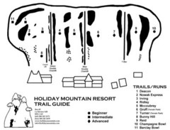
Holiday Mountain Ski Trail Map
Trail map from Holiday Mountain, which provides downhill skiing. It has 4 lifts. This ski area has...
36 miles away
Near Manitoba, Canada

Lake Bronson State Park Summer Map
Summer seasonal map of park with detail of trails and recreation zones
68 miles away
Near Lake Bronson, MN

Lake Bronson State Park Winter Map
Winter seasonal map of park with detail of trails and recreation zones
68 miles away
Near Lake Bronson, MN

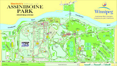
Assiniboine Park Map
76 miles away
Near Assiniboine Park

Old Mill State Park Winter Map
Winter seasonal map of park with detail of trails and recreation zones
78 miles away
Near 22489 - 240th Ave NW, Argyle, MN

Old Mill State Park Summer Map
Summer seasonal map of park with detail of trails and recreation zones
78 miles away
Near 22489 - 240th Ave NW, Argyle, MN

 click for
 Fullsize

0 Comments
New comments have been temporarily disabled.