Bouvet Island Map
near Bouvet Island
View Location
Map of Bouvet Island in the Southern Atlantic Ocean. Shows peaks and meteorological station.
See more

 See more
Nearby Maps

Gough Island Map
1154 miles away
Near Gough Island

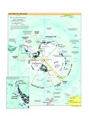
Antarctica Political Map 2005
Political map of Antarctica showing all country claims and bases.
1444 miles away
Near Antarctica

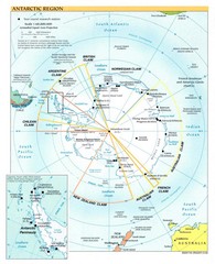
Antarctic Region Map
1444 miles away
Near Antarctic

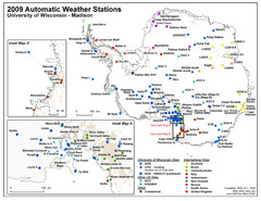
Antarctic Automatic Weather Stations Map
Map of all automatic weather stations in Antarctica
1444 miles away
Near Antarctica

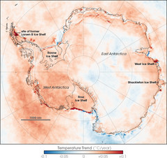
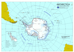
Antarctic Temperature Trend 1981-2007 Map
1444 miles away
Near Antarctica

 click for
 Fullsize

1 Comments
most remote island in the world?