BANKS-VERNONIA STATE TRAIL Map
near banks, or
See more


 See more
Nearby Maps

Tillamook State Forest Map
Recreation map of Tillamook State Forest. Over 60 miles of non-motorized trails and 150 miles of...
23 miles away
Near Tillamook State Forest, Oregon

Sauvie Island tourist map
Tourist map of Sauvie Island in Oregon. Shows all businesses and points of interest.
23 miles away
Near sauvie, oregon

Guide Map of Old Town Ridgefield
Guide Map of Old Town Ridgefield, Washington
26 miles away
Near Ridgefield, Washington

Forest Park Mountain Biking Map
Forest Park now includes over 5,100 wooded acres making it the largest, forested natural area...
29 miles away
Near NW 29th Ave & Upshur St, Portland, OR

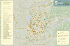
Bi-State Regional Trail System Plan Map
Shows plan for developing 37 Bi-State Regional Trails
33 miles away
Near Portland, Oregon

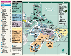
Oregon Zoo Map 2009
34 miles away
Near Oregon Zoo, Portland, Oregon

 click for
 Fullsize


0 Comments
New comments have been temporarily disabled.