Edit this map

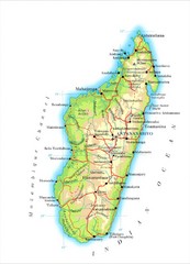
Antananarivo, Madagascar Tourist Map

near Antananarivo

View LocationView Map

-18.914872 47.531612 8 satellite
Nearest Map »  Fullsize
942 × 1256904 KBGIF

From www.africa.upenn.edu

Brigid added
Oct 21, 2009

Rating
no ratings

See an error? Report it.

Keywords

tourism, africa, country, city, attractions

0 Comments

New comments have been temporarily disabled.
See more

Nearby Maps

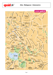
Antananarivo City Map

Antananarivo City Map

Street map of city

less than 1 mile away

Near Antananarivo, Madagascar
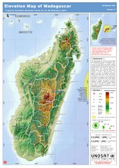
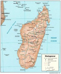
Madagascar Elevation Map

Madagascar Elevation Map

Shows color-coded elevation of island of Madagascar. Shows tropical cyclone Gamede track as of Feb...

45 miles away

rated 3.67 by 6 people
Near Madagascar
Madagascar Roads and Trains Map

Madagascar Roads and Trains Map

Cities, roads and train lines.

45 miles away

Near Madagascar
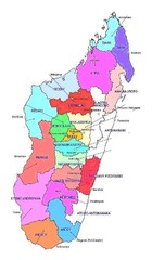
Madagascar regions Map

Madagascar regions Map

46 miles away

Keywords: reference
Madagascar Map

Madagascar Map

Guide to the African country of Madagascar

50 miles away

Near Madagascar, Africa
Antananarivo region Map

Antananarivo region Map

62 miles away

Keywords: reference
See more