Amundsen Scott South Pole Station Aerial Map
near South Pole, Antarctica
View Location
Aerial photo map of the US Amundsen Scott South Pole Station at the South Pole, Antarctica
See more


 See more
Nearby Maps

Mapa imaginario del Pais de HASARD Map
317 miles away

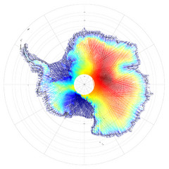
Antarctica Land and Ice Elevation Map
The colors on the map above represent ICESat’s measurements of Antarctica’s topography...
340 miles away
Near Antartica

Mont Vinson Map
Map of Vinson Massif mountain range, the highest range in Antartica, 16,050 ft high. Located about...
532 miles away
Near 78°31′31.74″S 85°37′1...

Vinson Massif Topo Map
Topo map of Vinson Massif, the highest mountain in Antarctica at 16067 ft / 4897 m. One of the...
552 miles away
Near Vinson Massif, Antarctica

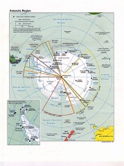
Antarctic Region Political Map 1997
Map centered on South Pole shows all country claims in Antarctica. Also shows year-round research...
770 miles away

 click for
 Fullsize


1 Comments
fascinating map... a lot going on down there